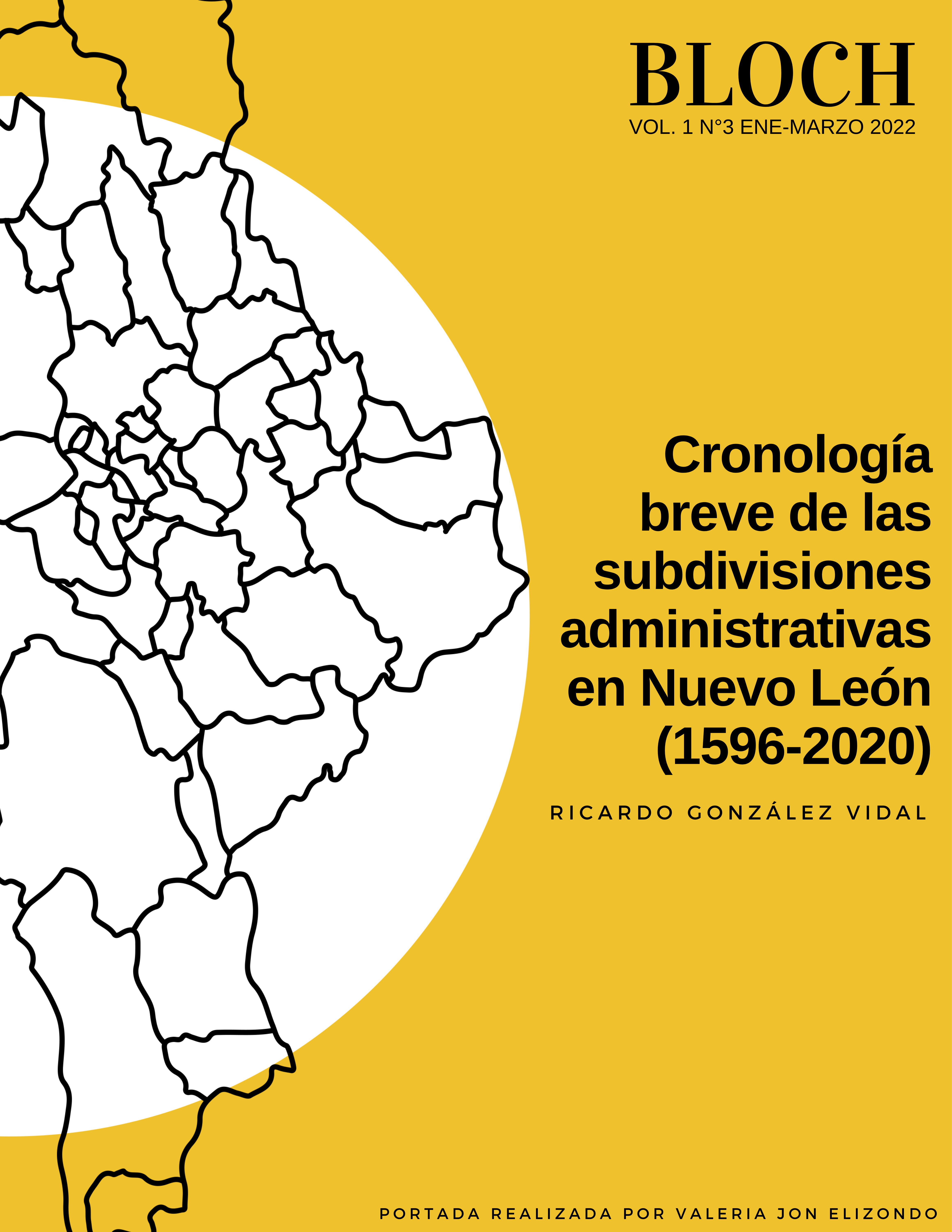
Brief chronology of the administrative subdivisions in Nuevo León (1596-2020)

Published 2022-01-31
Keywords
- jurisdiction,
- territory,
- subdivision,
- municipality,
- boundary
How to Cite
Copyright (c) 2022 Ricardo González Vidal

This work is licensed under a Creative Commons Attribution 4.0 International License.
Abstract
The territory of Nuevo León has been internally divided into various administrative subdivisions for over four centuries. At the beginning of the seventeenth century, the first municipalities with a large amount of land were developed, such as: Monterrey, Cadereyta, Salinas and Río Blanco. As the first districts were populated, others emerged to cover, in most cases, the demand for agricultural and mining activities. Many jurisdictions have managed to prosper to this day, shaping the State of Nuevo León, made up of 51 municipalities. However, there were other areas that came to form their own boundaries different from other councils that, due to various factors related to demography, the economy, the environment, and politics; they did not survive or are currently part of another federative entity.
Downloads
References
- Arreola Meneses, A. G. (2014). Poblamiento y conformación espacial del sur del Nuevo Reino de León: Los Valles Ganaderos del Río Blanco y San Antonio de los Llanos, siglos XVII-XVIII [Tesis de licenciatura, Universidad Nacional Autónoma de México]. https://repositorio.unam.mx/contenidos/272965
- Camacho Cervantes, H. (1991). Fundaciones y asentamientos en Nuevo León, siglos XVIII y XIX. Universidad Autónoma de Nuevo León, Centro de Información de Historia Regional. http://cdigital.dgb.uanl.mx/la/1080098850/1080098850_MA.PDF
- Cavazos Garza, I. (2010). La división política de Nuevo León desde el siglo XVI. En Nuevo León a través de sus municipios, Tomo I (pp. 12-33). Agencia Promotora de Publicaciones.
- Cavazos Garza, I., y Morado Macías, C. (2006). Fábrica de la frontera: Monterrey, capital de Nuevo León (1596-2006) (1.a ed.). Ayuntamiento de Monterrey.
- Cavazos Garza, I., y Ortega Ridaura, I. (2016). Nuevo León. Historia breve (2.a ed.). Fondo de Cultura Económica, El Colegio de México.
- Garza Guajardo, G. (1986). Las cabeceras municipales de Nuevo León. Universidad Autónoma de Nuevo León, Centro de Información de Historia Regional. http://cdigital.dgb.uanl.mx/la/1080065366/1080065366.PDF
- Gerhard, P. (1996). La frontera norte de la Nueva España. Universidad Nacional Autónoma de México.
- Instituto Nacional de Estadística, Geografía e Informática. (1996). División Territorial del Estado de Nuevo León de 1810 a 1995. Instituto Nacional de Estadística, Geografía e Informática. https://www.inegi.org.mx/app/biblioteca/ficha.html?upc=702825222451
- Merla Rodríguez, G. (1990). Nuevo León Geografía Regional. Universidad Autónoma de Nuevo León, Centro de Información de Historia Regional. http://cdigital.dgb.uanl.mx/la/1020081042/1020081042.PDF
- Nigra de San Martin, S. (1853). Mapa del Estado de Nuevo León (1728-OYB-7212-A) [Mapa]. Sarony & Major; Mapoteca Manuel Orozco y Berra. http://w2.siap.sagarpa.gob.mx/mapoteca/mapas/1728-OYB-7212-A.jpg
- Rivera y Tello, G. (1906). Carta general del Estado de Nuevo León levantada por iniciativa de su actual gobernador General de división Bernardo Reyes (2895-OYB-7212-C) [Mapa]. Comisión Geográfico-Exploradora; Mapoteca Manuel Orozco y Berra. http://w2.siap.sagarpa.gob.mx/mapoteca/mapas/2895-OYB-7212-C.jpg
- Roel, S. (1984). Nuevo León. Apuntes históricos. Castillo.
- Stangl, W. (2014). Data: Territorial gazetteer for Spanish America, 1701-1808 (W. Stangl, Ed.; Austrian Scientific Funds (FWF), Trad.; V2 ed.). Harvard Dataverse. https://doi.org/10.7910/DVN/YPEU5E
- Vázquez, M. (1996). Recuentos municipales. En La Enciclopedia de Monterrey (Vol. 2, pp. 153-226). El Diario de Monterrey, Grijalbo.
